
In August, Van Buren County Digital Information Director Jerry Happel presented to the VAN BUREN REGIONAL GENEALOGICAL SOCIETY at the Hartford Library. The event drew about 50 participants, who were introduced to the county’s expanding library of online historic resources.
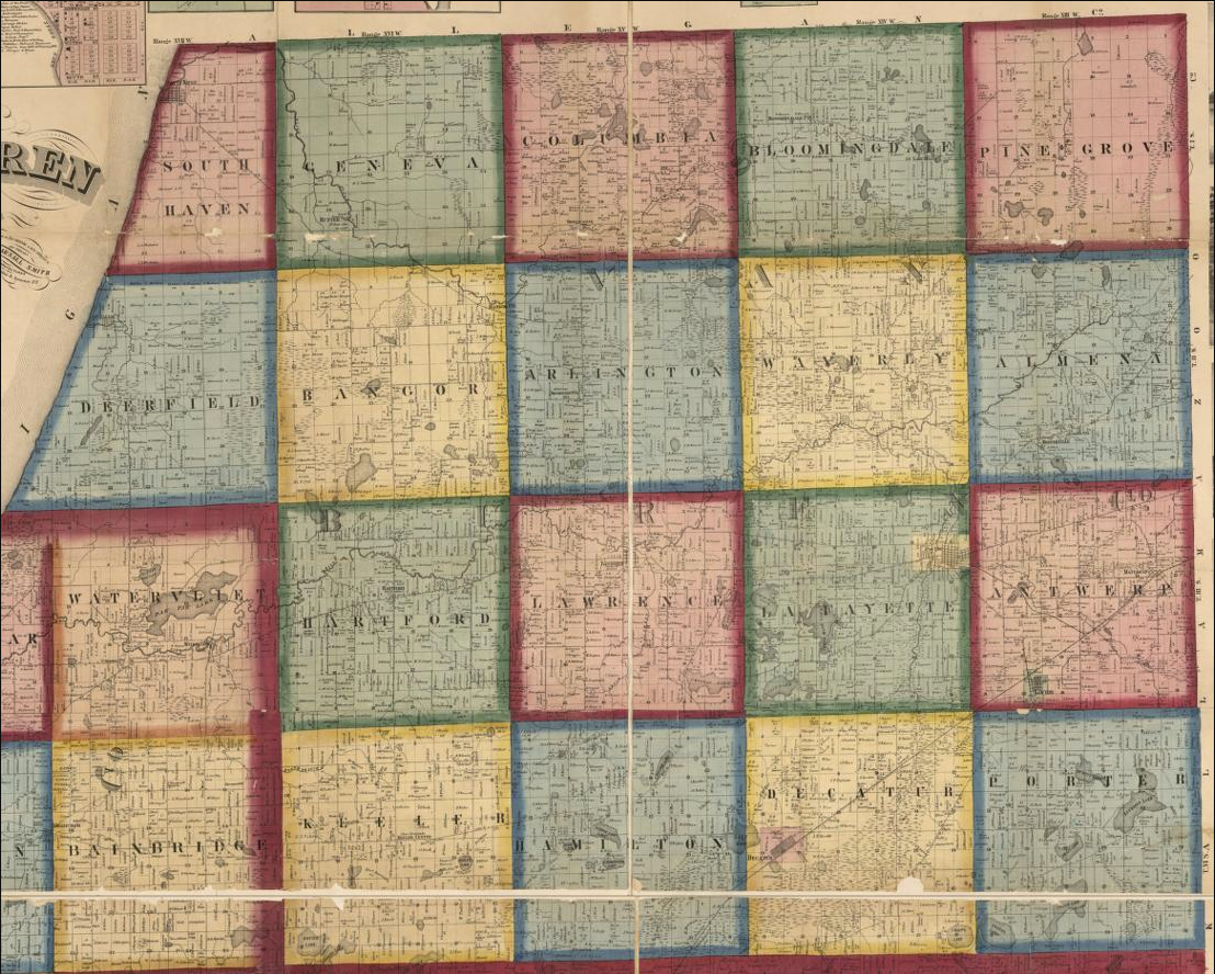
Happel highlighted tools available on the county website, including the parcel viewer, parcel history viewer, original land patents and public survey maps, historic plat books, county surveyor field notes dating back to the mid-1800s, and historic subdivision plat maps.
He also demonstrated how artificial intelligence can support genealogy and local history research by transforming facts into narratives and restoring or animating historic photographs.
The presentation reflected Van Buren County’s commitment to preserving history while using innovative technology to make it more accessible and engaging for residents.